Auction: 15040 - Antique Maps sale during the International Exhibition
Lot: 117
Maps
India
Mogolis
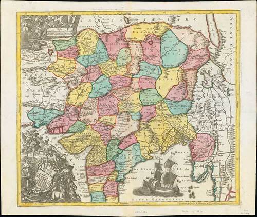
1740 (c.) Imperii Magni Mogolis sive Indici Padschach, juxta recentiissimas Navigationes accurata delineato Geographica studio et sumtibus, by Matthias Seutter; 26 x 21½ inches, hand-coloured
18th century Germany cartography at its finest; this is an absolutely spectacular map of northern India showing the extent of the powerful Mughal Empire in the late 17th century, this map details the subcontinent and parts of Central Asia from Persia and Khandhar eastward as far a modern day Burma and Thailand. Extends northward to include parts of Tibet and Nepal and southwards as far as the Malabar Coast and the Gulf of Thailand. Cartographically this map is heavily based upon Hondius and Mercator’s 17th century of the same region entitled India Orientalis.
Usual central reinforcement and two natural paper wrinkles prior to printing. Fresh and fine. Photo
Estimate
SG$800 to SG$1,000


