Auction: 15040 - Antique Maps sale during the International Exhibition
Lot: 118
Maps
India
North India
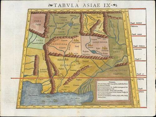
1552 Tabula Asiae IX (Northern India & Pakistan), by Sebastian Munster; 15¼ x 11½ inches, hand-coloured woodblock, the verso illustrated with a decorative coloured woodcut illustration.
A highly decorative woodcut map by famous mapmaker Sebastian Münster published in his Ptolemy edition 1552 in Basel at Heinrich Petri. The decorative woodcut borders verso were probably cut by the famous 16th century woodcutter Hans Holbein.
Important early map of part of Northern India, Pakistan and the Indian Ocean, based upon the work of Ptolemy. The map is unchanged from the 1540 edition. Munster's Geographia was a cartographic landmark, including not only Ptolemaic maps, but also a number of landmark modern maps, including the first separate maps of the 4 continents, the first map of England and the earliest obtainable map of Scandinavia. Munster dominated cartographic publication during the mid-16th Century.
Reinforced central fold, the colouring is typically garish but still fine. Photo
Estimate
SG$400 to SG$500


