Auction: 15040 - Antique Maps sale during the International Exhibition
Lot: 67
Maps
China
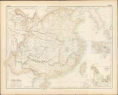
1858 China by G.H. Swanston & J. Bartholomew; 23 x 18¾ inches, original colour.
Lithograph print published by A.Fullarton & Co. in "The Companion Atlas to The Gazetteer of the World", folio number "LXVIII". Insets of the Island of Chusan and the Estuary of the Canton River from Hong Kong to Canton are on bottom right hand corner of map.
Usual central reinforcement, some minor ageing. Photo
Estimate
SG$500 to SG$600


