Auction: 15040 - Antique Maps sale during the International Exhibition
Lot: 68
Maps
China
Canton
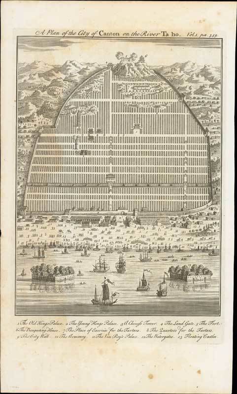
1746 A Plan of the City of Canton on the River Ta Ho, by John Harris, London; 9¼ x 15½ inches, uncoloured.
Attractive and detailed plan of Canton, just at the beginning of the China-trade era. This map is one of the earliest European bird's eye views of Canton at the time of the first English East India voyages to the Pearl River estuary to trade in tea and later opium. The view from the river shows the two forts off the harbour front with junks. There are seven European galleons in the foreground, and the shoreline is bustling with people, with the armoury and watergate entrances through the city walls. The Tartar quarter is shown in the background with the Fort and Banqueting House. The number key appears along the bottom. Published in John Harris' "Navigantium atque Itinerantium Bibliotheca", or "Complete Collection of Voyages and Travels".
Light water stain at left, a few age marks and a couple of tone spots. Photo
Estimate
SG$600 to SG$800


