Auction: 15040 - Antique Maps sale during the International Exhibition
Lot: 134
Maps
India
Malabar Coast
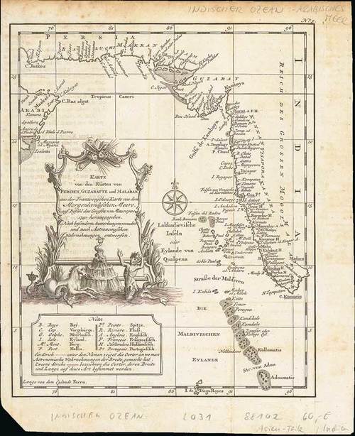
1740 Carte des Costes de Perse, Gusarat et Malabar, by Jacques Nicolas Bellin; 9½ x 13½ inches, uncoloured.
A good engraved map of the Indian Ocean, with the west coast of India, Persia, Maldives and the eastern tip of Arabia from "l'Histoire générale des voyages". The geographical features are typical with somewhat exaggerated bays and inlets.
Also the German edition, Karte von den Küsten von Persien, Guzaratte und Malabar from Allgemeine Historie der Reisen zu Wasser und Lande (Volume 1); folding creases and peripheral ageing. 9 x 11 inches, uncoloured. (2 maps)
Estimate
SG$200 to SG$250


