Auction: 15040 - Antique Maps sale during the International Exhibition
Lot: 102
Maps
East Indies
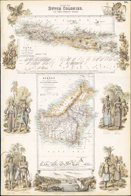
1872 Principal Dutch Colonies in the Indian Seas, by A. Fullarton & Co.; 12½ x 18½ inches, original colour.
Coloured lithographic print, being page "XX" in "The Royal Illustrated Atlas, Of Modern Geography". Java according to Van de Velde, Borneo reduced from the large map constructed for the Borneo Church Mission Institution; both drawn by Augustus Petermann, engraved by G.H. Swanston. The maps surrounded by people, animals and places on the two islands of Java and Borneo. Both include the elevation of mountains and places.
Repaired tear in the right margin. Fresh and attractive. Photo
Estimate
SG$300 to SG$400


