Auction: 15040 - Antique Maps sale during the International Exhibition
Lot: 101
Maps
East Indies
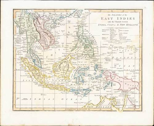
1816 The Islands of the East Indies with the Channels between India, China & New Holland, by Robert Wilkinson; 13¼ x 10¾ inches, original colour.
Map of the East Indies showing the north coast of Australia. Relief shown by hachures. Excellent detail in the Philippines and South East Asia. Robert Wilkinson was active in London as a cartographic publisher from 1785 to 1825. He produced a number of nice works, including a General Atlas and a re-issuance of Bowen & Kitchen's English Atlas, along with excellent large format separate maps.
Minor ageing around the edges. Photo
Estimate
SG$500 to SG$600


