Auction: 15040 - Antique Maps sale during the International Exhibition
Lot: 82
Maps
Asia
Korea
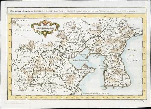
1764 Carte Du Katay ou Empire De Kin ..., by Nicholas Bellin; 13¼ x 9½ inches, hand-coloured.
Striking map of Korea and contiguous China, showing peninsula, towns, rivers, mountains, and some notes. Decorative cartouche
On laid paper, the map has 3 vertical and 3 horizontal folds to fit atlas size, slightly reduced margin at right, fine. Photo
Estimate
SG$600 to SG$800


