Auction: 15040 - Antique Maps sale during the International Exhibition
Lot: 79
Maps
Asia
Japan
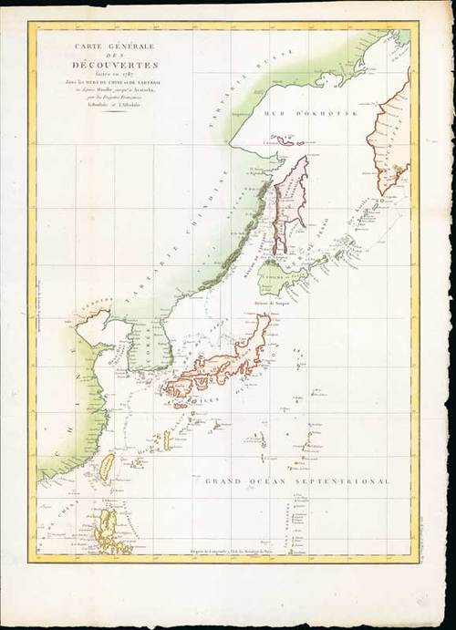
1797 Carte generale des decouvertes, faites en 1787 dans les mers de Chine et de Tartarie, La Pérouse, Jean-Francois de Galaup, comte de from Atlas du voyage de La Pérouse; 22 x 31 inches, hand-coloured.
La Pérouse's important large-scale chart of Northern Japan, Hokaido, the Kuriles, the tip of Kamschatka, and the northern part of Korea. Showing the track of the Perouse from 27 May 1787 at Cape Clonard, Isle Dagelet in Korea. His voyage continued along the coast of China, Japan, Sagalin, Hokaido and Kamtschatka on 6 September 1787.
Folding creases and small split in the lower margin. Photo
Estimate
SG$1,000 to SG$1,200


