Auction: 15040 - Antique Maps sale during the International Exhibition
Lot: 64
Maps
China
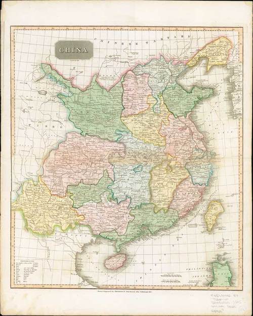
1815 China – Drawn and Engraved for Thomson’s New General Atlas, Edinburgh; 22 x 27½ inches, hand-coloured.
As with all of Thomson’s maps the detailing is amazing showing all of the different provinces, cities, rivers and mountain ranges. Each province is a different color to make the borders easier to see. The lower left corner has a key to the Chinese words used on the map and the distance key is done in British miles and Chinese Lys. The map also shows Tibet to the west and Chinese Tartary to the north.
Usual central reinforcement; other folds and tear on left side with some peripheral ageing. Photo
Estimate
SG$600 to SG$800


