Auction: 15040 - Antique Maps sale during the International Exhibition
Lot: 57
Maps
China
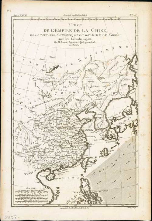
1780 Carte L'Empire de la Chine, de la Tartarie Chinoise de la Tartarie Chinoise, et du Toyaume de Coree: avec les Islaes du Japon, by Rigobert Bonne; 10 x 14½ inches, uncoloured.
The atlas was first issued in 1780 with maps engraved by Andre, then reissued in 1783-84 without Andre or Bonne on the maps, finally reissued in 1820 with the maps re-engraved by Dien. A fine map of China, Korea, Japan and Taiwan, prepared by R.Bonne and included in his "Atlas Ecyclopédique".
On laid paper with horizontal folds; a few tone spots towards the right. Photo
Rigobert Bonne (1727-1795) was engineer, mathematician and cartographer, active in Paris. He succeeded Jacques-Nicolas Bellin as hydrographer at the Depot de la Marine in 1773. He is most notable for his "Atlas Maritime, Neptune Amérique septentrionale, Atlas Ecyclopédique" in two-volumes with Nicolas Demarest and Bory de St. Vincent.
Estimate
SG$500 to SG$600


