Auction: 15040 - Antique Maps sale during the International Exhibition
Lot: 22
Maps
Asia
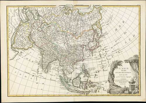
1783 (c.) l'Asie divisee en ses Principaux Etats ..., by Jean Janvier; 19 x 13½ inches, original outline colour.
This is a beautiful example of Jean Janvier's 1762 map of Asia. It covers from Africa and the Mediterranean east to Bering Strait and south as far as Java and New Guinea. This map is most interesting in its rendering of the largely unexplored extreme north-west of Asia. Yeco or Hokkaido is mapped only speculatively with its western borders unknown. Shows Sakhalin Island in an embryonic state. A decorative title cartouche displaying the riches of the continent appears in the lower right hand quadrant. A fine map of the region. This map was drawn by J. Janvier and included as plate no. 24 in Jean Lattre's "Atlas Moderne".
Later repaired central fold. fine. Photo
Estimate
SG$900 to SG$1,100


