Auction: CSS65 - The Philatelic Collectors' Series Sale
Lot: 6160
Miscellaneous
Others
Map
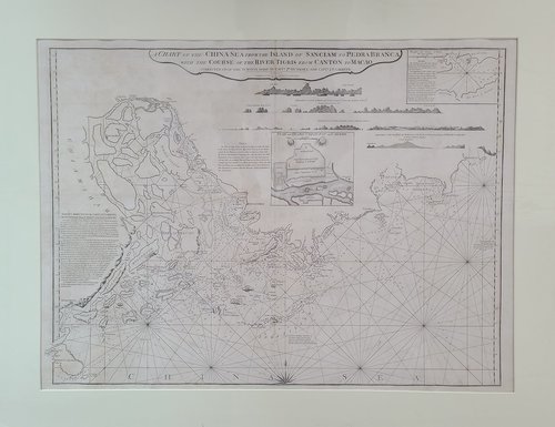
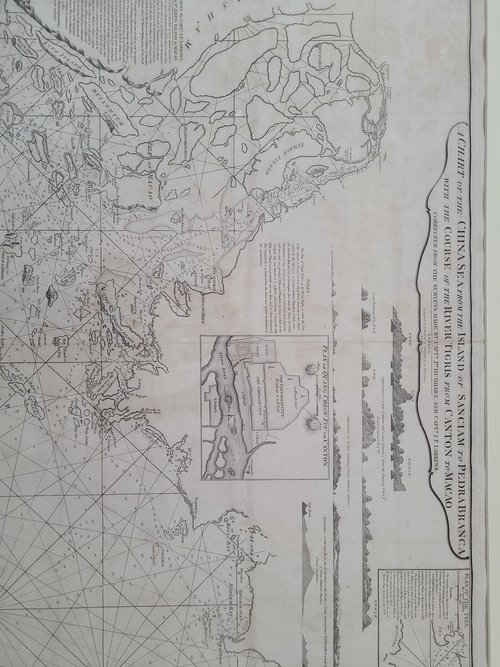
1794 "A Chart of the China Sea from the Island of Sanciam to Pedrobanca". Published by Laurie & Whittle, 12 May 1794. Cartographer: LAURIE, Robert & WHITTLE, James. Mounted. Not coloured, copper engraving. Some foxing. Image size: 32" x 24".
Nautical chart of the South China Sea with the islands of Macao and Hong Kong (named as "Fan-chin-cheo or He-ong Kong" in map ), also the city of Kowloon is shown as "Co-long". Includes coastal views of Lantoe or Magpyes Island ( Lantao Island). Inset map below coastal views has title: "Plan of Quang Cheou Fou or Canton" and has bar scale in English miles. Inset map at upper right hand corner of sheet has title: "Plan of the Typa, by Captn. Baker" and has bar scale in English miles. "Sailing directions by Captn. J.P. Larkins for the passage from St. John's island to Macao" appears at left hand side of sheet. Depth indicated by soundings. Relief shown pictorially.
詳看英文描述
Sold for
HK$36,000
Starting price
HK$36000


