Auction: 18038 - Autographs, Historical Documents, Ephemera and Postal History
Lot: 3071
Autographs
London Postal Districts
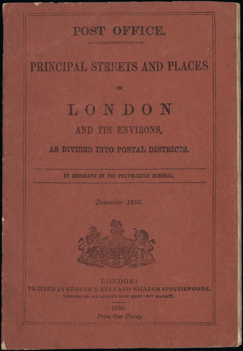
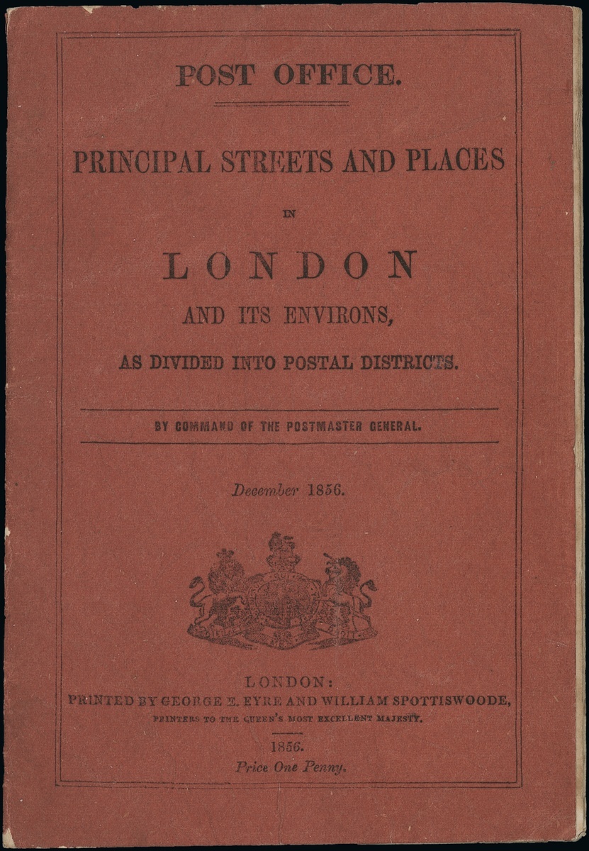
1856-58 Principal Streets and Places in London. The December 1856 edition with the original terracotta paper cover lists all of the streets of London with their respective postal district; 31 pages 127 x 187mm, a little worn.
The January 1858 edition with original quarter skiver, printed buff boards includes 11 maps (the first double folded); the covers are a little worn. Two highly important books issued "By Command of the Postmaster General". Photo
By the 1850s, the rapid growth of the metropolitan area meant it became too large to operate efficiently as a single post town. In 1856, of the 470 million items of mail sent in the United Kingdom during the year, approximately one fifth (100 million) were for delivery in London and half of these (50 million items) also originated there.
In 1854 Charles Canning, the Postmaster General, set up a committee at the Post Office in St. Martin's Le Grand to investigate how London could best be divided for the purposes of directing mail. The project was managed by Sir Rowland Hill.
Hill produced an almost perfectly circular area of 12 miles (19 km) radius from the central post office at St. Martin's Le Grand, near St Paul's Cathedral in central London. Within the district it was divided into two central areas and eight compass points which operated much like separate post towns. Each was constituted "London" with a suffix (EC, WC, N, NE, E, SE, S, SW, W, and NW) indicating the area it covered; each had a separate head office. The system was introduced during 1857 and completed on 1 January 1858.
Subject to 20% VAT on Buyer’s Premium. For more information please view Terms and Conditions for Buyers.
Estimate
£1,000 to £1,200

Watch, listen and bid as if you were in the room. Now available for auctions worldwide.
Click here to bid live
An exclusive and confidential service for the discerning collector or vendor.
View the Gallery
Download every Spink catalogue on your iPad, iPod or iPhone using free Spink app.
Download From iTunes© 2026 Spink & Son. All rights reserved.