Auction: 15040 - Antique Maps sale during the International Exhibition
Lot: 121
Maps
India
Southern India
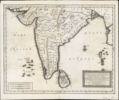
1720 (c.) Carte du Golfe de Bengale, Mer de Indes, et Riviere du Gange, Avec les Pais et Iles d'alentour, Savoir les Cotes de Malabar, Cormandel, Ile de Ceylon, Les Maldives ..., by Pierre Vander Aa; 15 x 12½ inches, uncoloured.
Detailed map of the Southern part of India with Ceylon. Good detail along the coasts of Malabar, Coromandel, the Maldives islands and the Kingdoms of Visipour, Golconda, Guzaratte, etc. With title and mileage cartouches.
Central fold with small split in the lower margin, trivial soiling. Photo
Estimate
SG$200 to SG$250


