Auction: 15040 - Antique Maps sale during the International Exhibition
Lot: 106
Maps
India
General
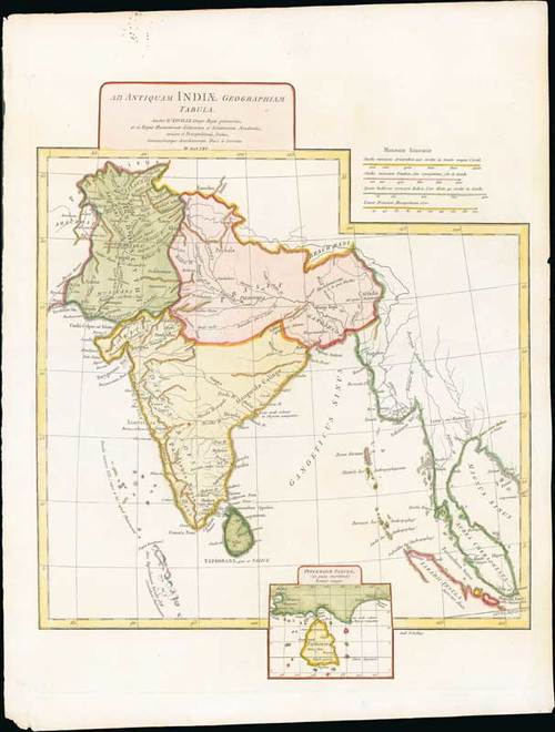
1765 Ad antiquam Indiae geographiam tabula, by J.B.B. d'Anville, Paris; 16¾ x 21¾ inches, hand-coloured.
A map showing India with an inset in the lower part entitled Ptolemaicae Tabulae showing the island of Ceylon.
D'Anville's maps have a clarity and directness that appears very modern. He read widely, and incorporated the best available geographic knowledge into his work. The English and others copied from his maps extensively.
A few spots in the upper margin; fresh. Photo
Estimate
SG$100 to SG$150


