Auction: 15040 - Antique Maps sale during the International Exhibition
Lot: 70
Maps
China
Chusan
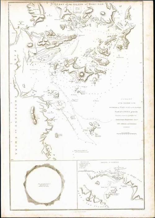
1796 A Chart of the Islands to the southward of Tchu-San on the Eastern Coast of China generally laid down from one published by Alexander Dalrymple Esq. with additions and alterations, by Sir John Barrow; 15½ x 22 inches, uncoloured.
Map from the atlas of "An Authentic Account of an Embassy from the King of Great Britain to the Emperor of China" by Sir George Leonard Staunton. With printed note published April 12, 1796 by G. Nicol.
On stout paper, some staining or age marks in the right margin. Photo
Estimate
SG$1,000 to SG$1,200


