Auction: 15040 - Antique Maps sale during the International Exhibition
Lot: 16
Maps
Asia
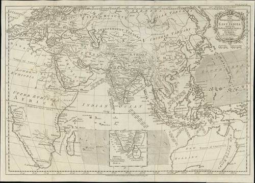
1776 Map of the European settlements in the East Indies and on the eastern coast of Africa including part of Europe, by Thomas Kitchin; 19 x 13½ inches, uncoloured.
Published by T. Cadell according to Act of Parliament. Map of the Eastern hemisphere showing the direction of prevailing winds and trade routes. Relief shown pictorially. Inset containing the European settlements in the southern part of India.
Usual folding creases, repaired paper splits at left and right. Photo
Estimate
SG$600 to SG$800


